

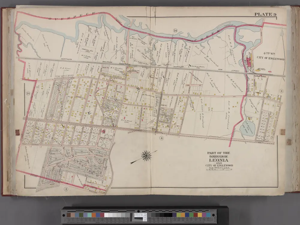
Bergen County, V. 1, Double Page Plate No. 9 [Map bounded by Overpeck Creek, Cedar Lane, Phelps Ave., Broad Ave., Borough Blvd., Oakdene Ave.] / by George W. and Walter S. Bromley.
1912
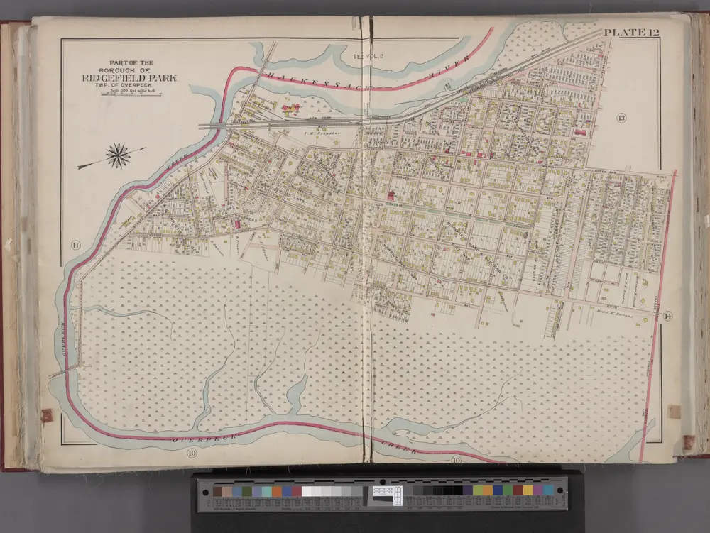
Bergen County, V. 1, Double Page Plate No. 12 [Map bounded by Hackensack River, Hackensack Ave., Township of Teaneck, Overpeck Creek] / by George W. and Walter S. Bromley.
1912
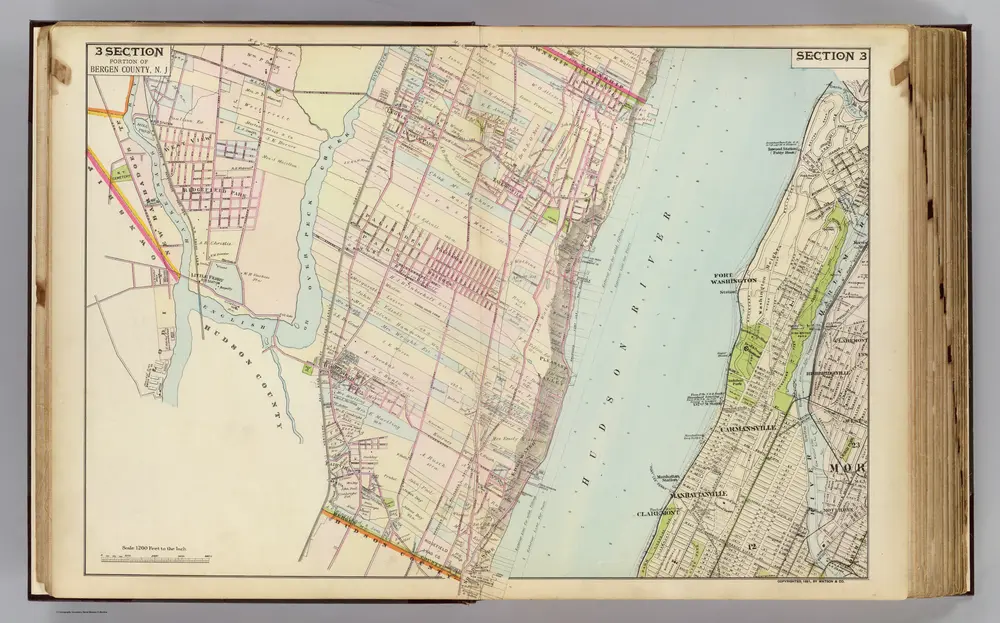
3 Bergen Co., N.J.
1891
Watson & Co. (New York, N.Y.)
1:14k
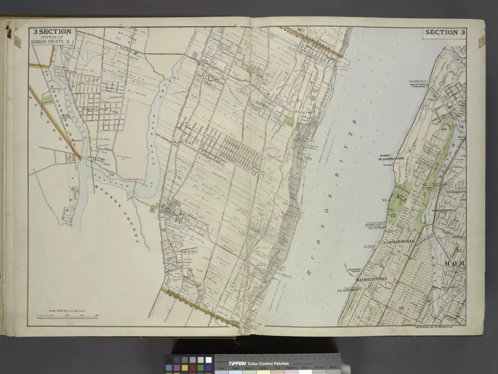
Portion of Bergen County, N.J.
1891
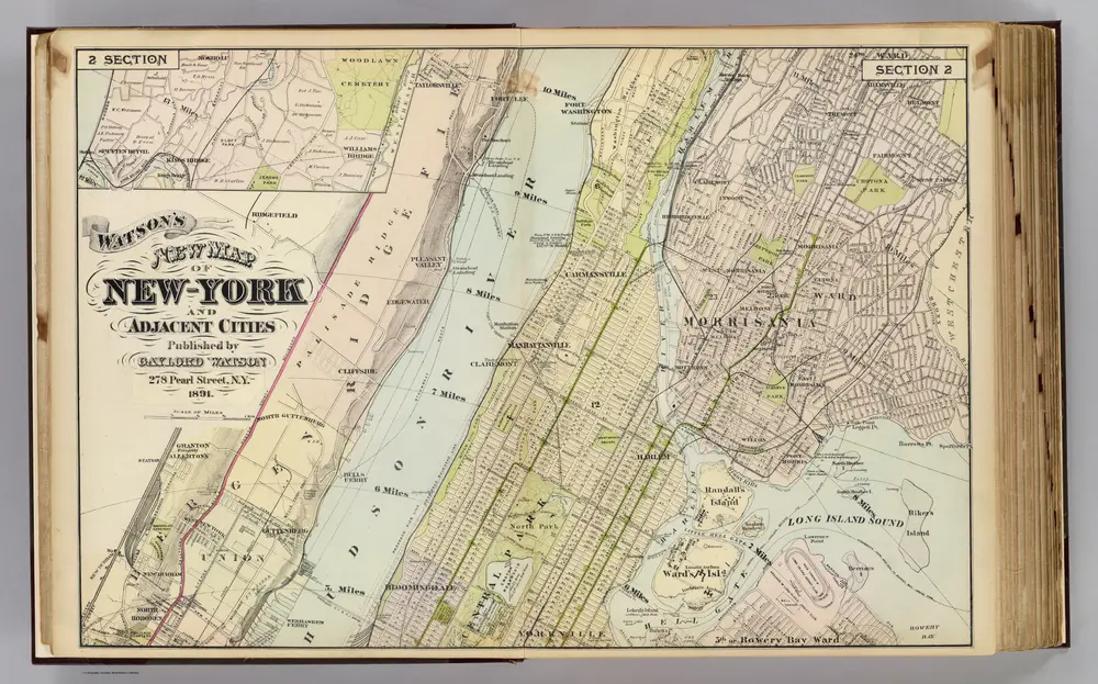
2 New York, etc.
1891
Watson, Gaylord
1:18k
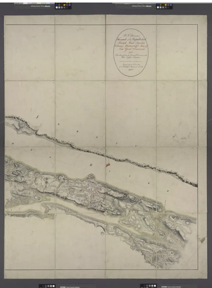
Facsimile of the unpublished British head quarters coloured manuscript map of New York & environs / reproduced from the original drawing in the War Office, London.
1782
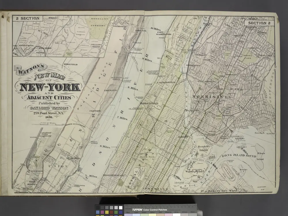
Map of New York and Adjacent Cities
1891
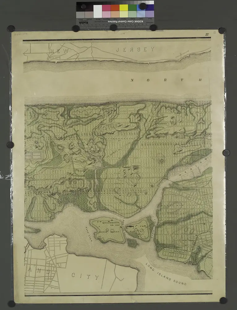
Topographical atlas of the city of New York, including the annexed territory showing original water courses and made land. / prepared under the direction of Egbert L. Viele.
1874
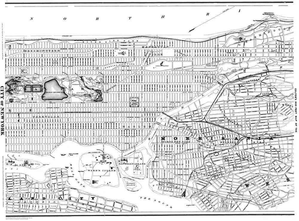
800 Feet Map of the City of New York, Lower Sheet
1887
J. H. Colton
1:14k
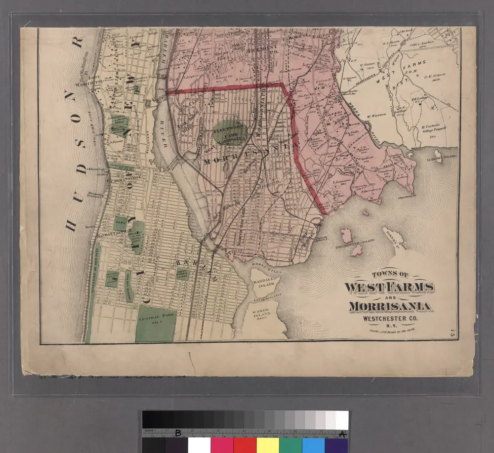
Morrisania, Westchester Co. N.Y.
1872

