

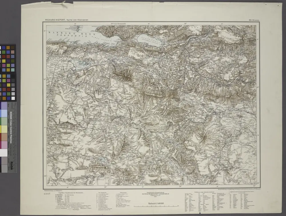
B2. Brussa. / bearbeitet von Richard Kiepert. 1902-1916.
1904
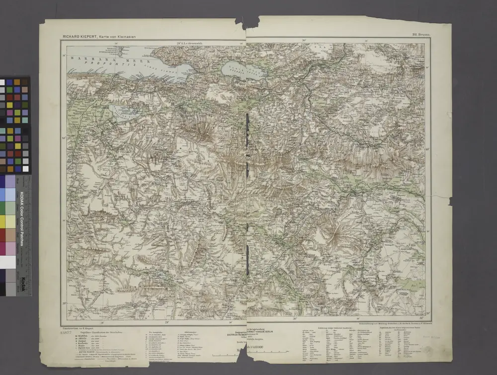
B2. Brussa. / bearbeitet von Richard Kiepert. 1902-1916.
1908
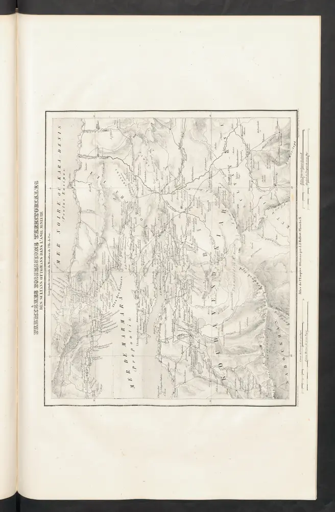
Premières Possessions Territoriales
1844
Hellert, J.J.
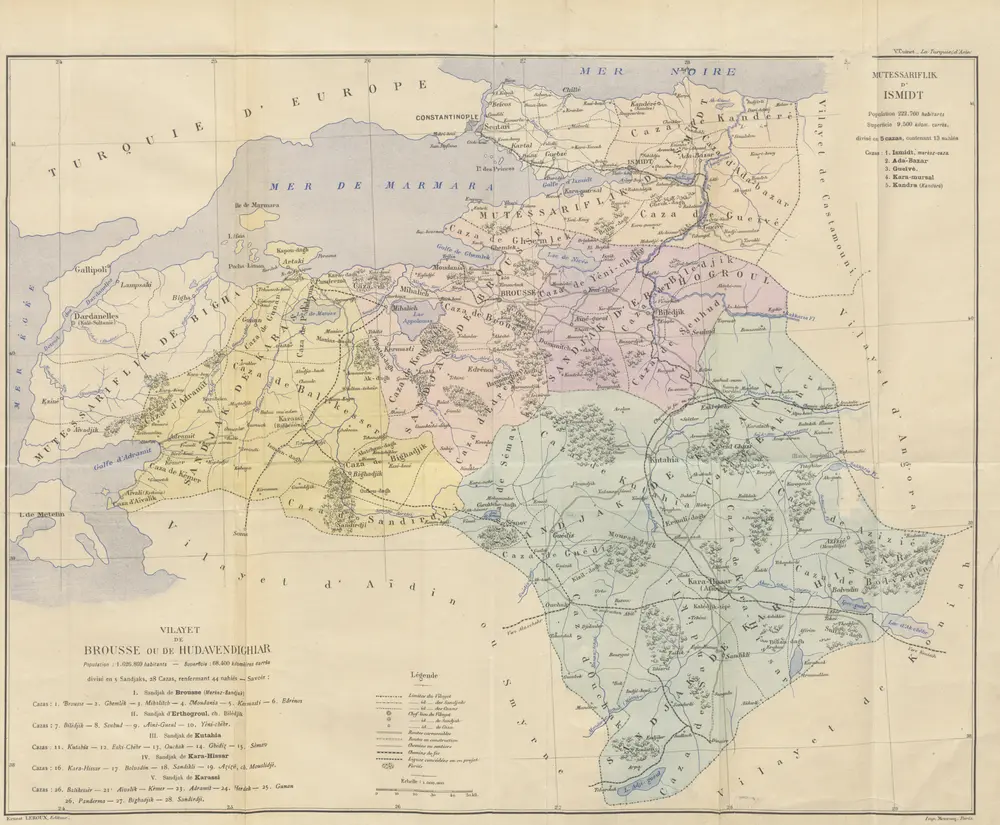
La Turquie d'Asie. Géographie administrative, statistique, descriptive et raisonnée de chaque province de l'Asie-Mineure. [With maps.]
1890
CUINET, Vital.
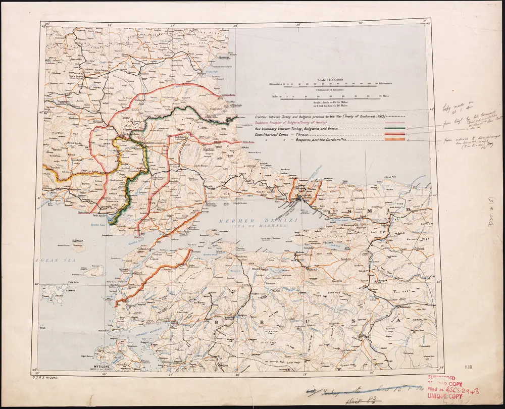
Demilitarized zones in north-west Turkey
1920
War Office
1:1m
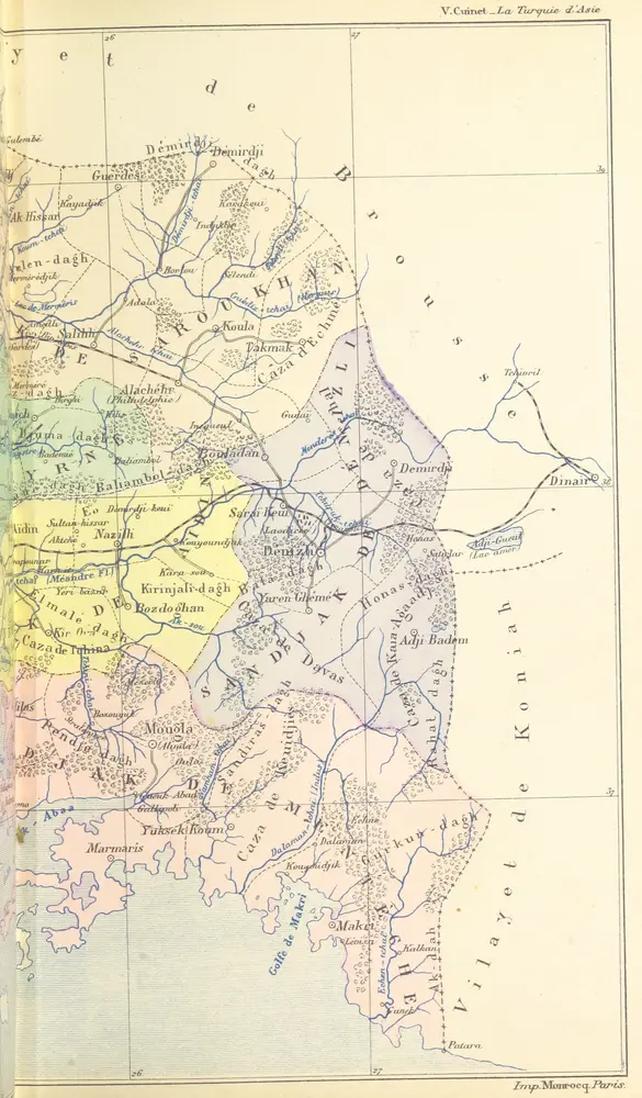
La Turquie d'Asie. Géographie administrative, statistique, descriptive et raisonnée de chaque province de l'Asie-Mineure. [With maps.]
1890
CUINET, Vital.
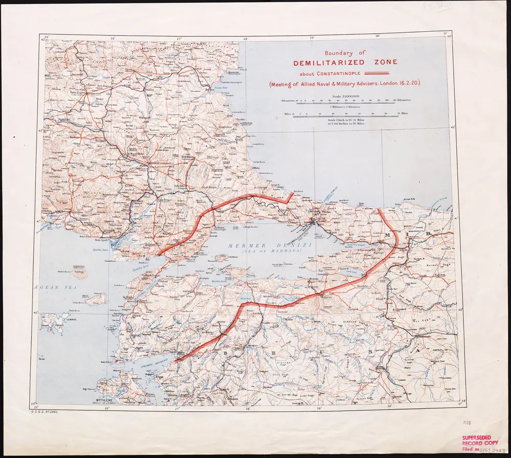
Boundary of demilitarized zone about Constantinople
1920
War Office
1:1m
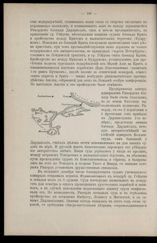
[Marmarameer]
1911
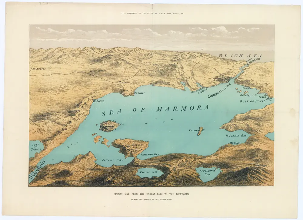
Sketch map from the Dardanelles to the Bosphorus
1878
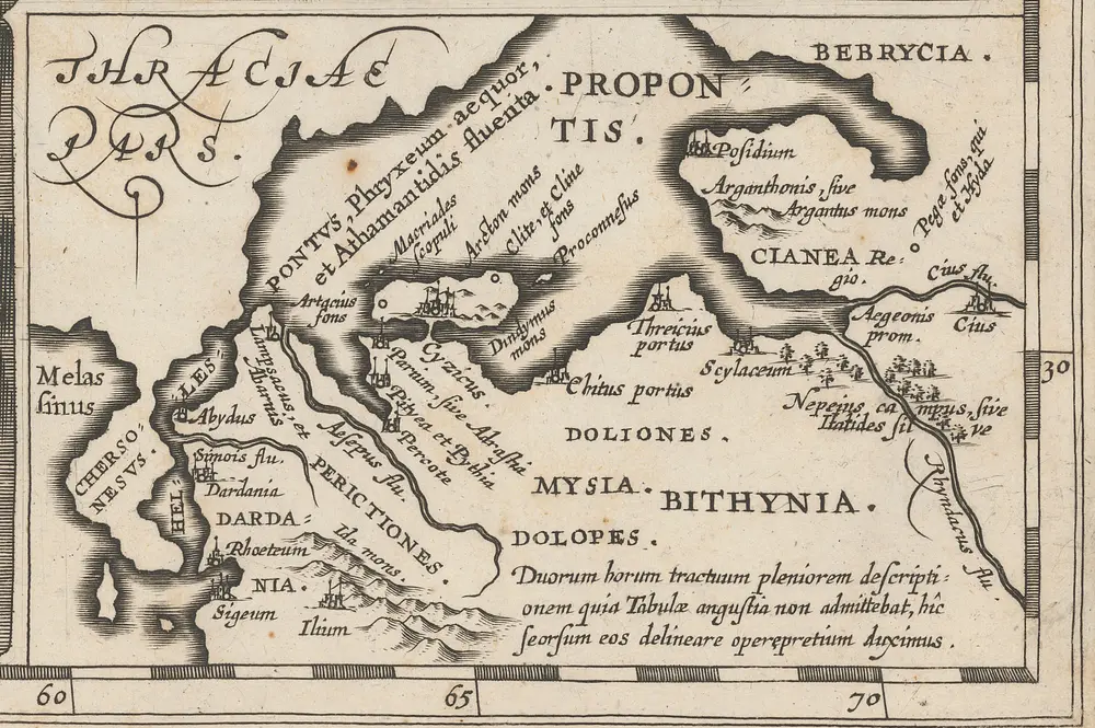
[Propontis] [Karte], in: [Accuratissima orbis antiqui delineatio, sive, Geographia vetus, sacra & profana], S. 40.
1653
Jansson, Jan

