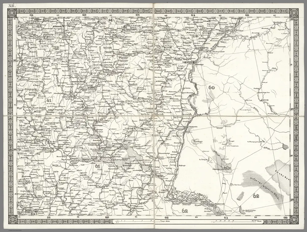
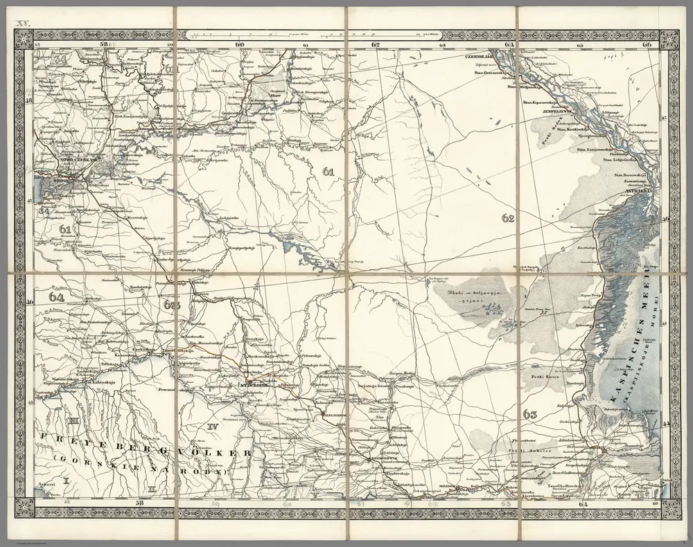
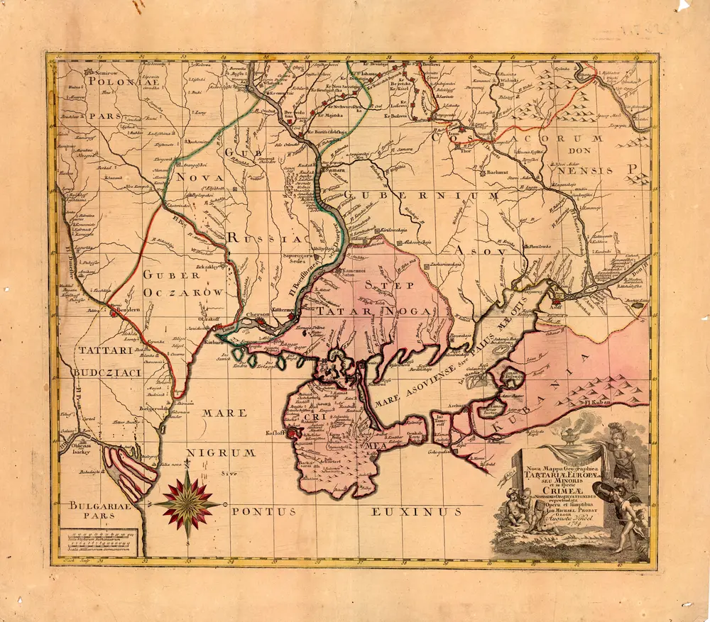
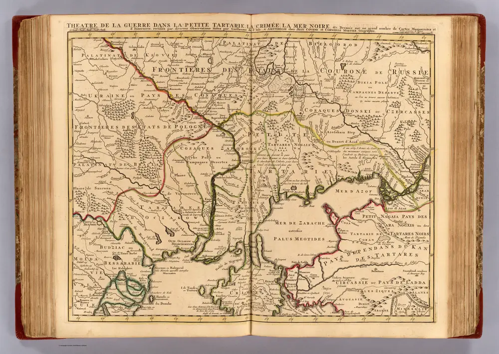
Old maps of Kamensky District, Rostov Oblast
Discover the past of Kamensky District, Rostov Oblast on historical maps
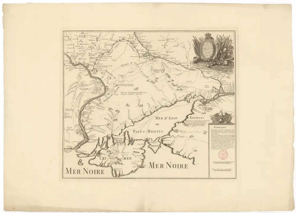
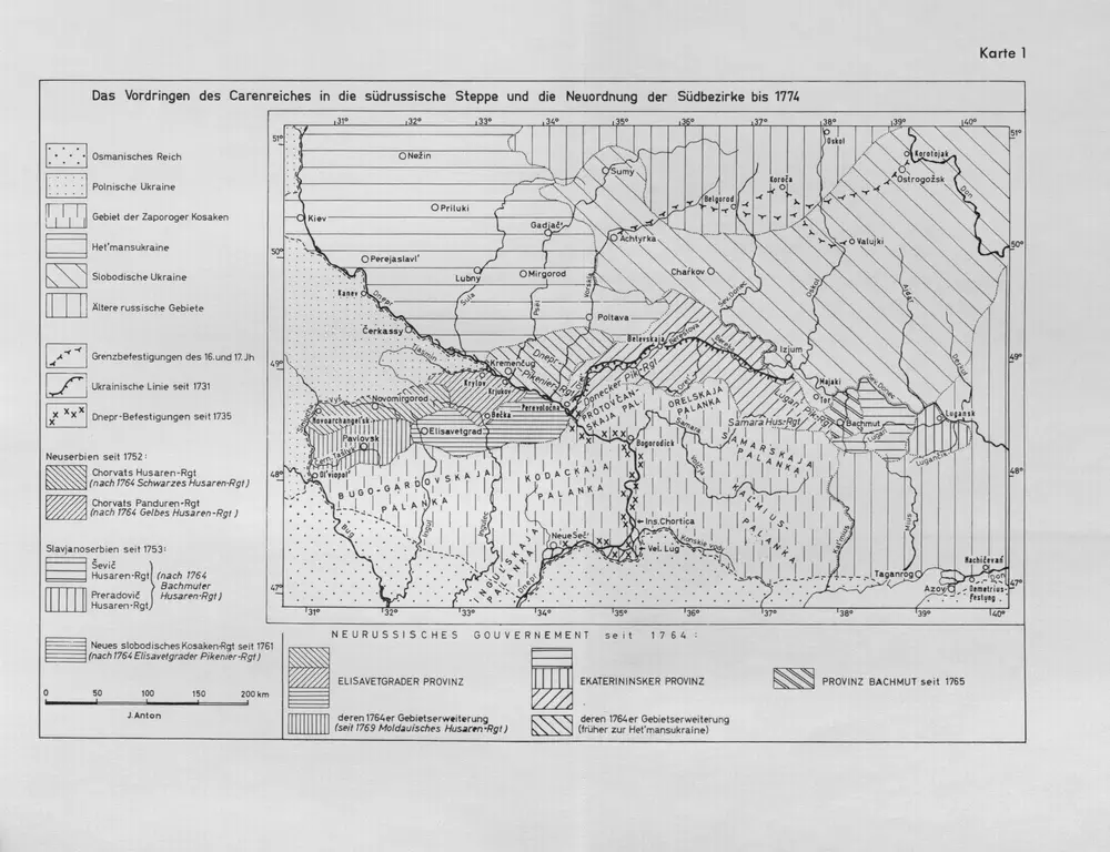
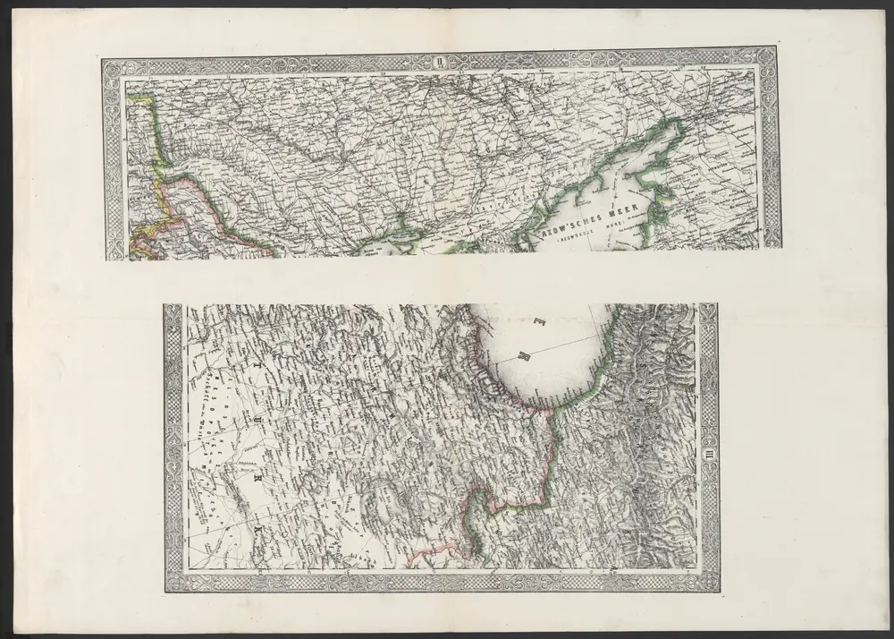
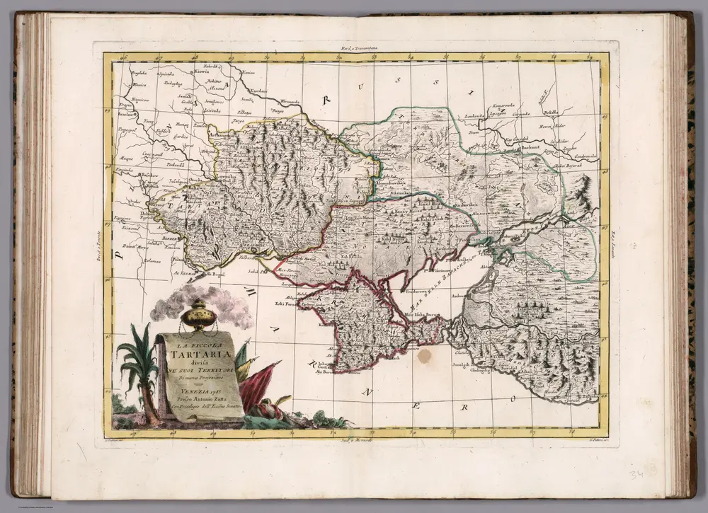
Old maps of Kamensky District, Rostov Oblast
Discover the past of Kamensky District, Rostov Oblast on historical maps
Looking for a Google Maps API Alternative?