Project
Community
News
My App
0
My maps
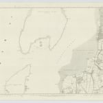
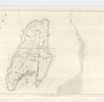
Maps of Millport, Great Cumbrae
Advanced search
All
Private
Favorites
Printable
Argyll and Bute, Sheet CCXVI.14 (Great Cumbray) - OS 25 Inch map
1856|Ordnance Survey
1:2 500
Ayrshire, Sheet VI - OS 6 Inch map
1855|Ordnance Survey
1:10 560
Argyllshire, Sheet CCXVI - OS 6 Inch map
1856|Ordnance Survey
1:10 560
Arran - OS One-Inch map
1855|Ordnance Survey
1:63 360
Renfrew-Shire.
1832|Thomson, John
1:73 000
Ayrshire 1 N.
1832|Thomson, John
1:78 000
Buteshire.
1832|Thomson, John
1:85 000
1600
1650
1700
1750
1800
1850
1900
1950
2000
History
Old maps of Millport, Great Cumbrae
Discover the past of Millport, Great Cumbrae on historical maps
Old maps of Millport, Great Cumbrae
Discover the past of Millport, Great Cumbrae on historical maps
Explore Maps
Discover History
Parent places
Argyll and Bute
Related places
© MapTiler
© OpenStreetMap